Expectations
Another interesting day, made challenging by the Cs and Ls not staying in the same place. Either we re-unite at the Lion Inn (which would not be the route shown on header map for this post) or we attempt to re-unite where George Gap Causeway meets the C2C (which leaves the prospect of a lot of hanging about with no guarantee of success) or just elect to walk separately and meet back up on Glaisdale.
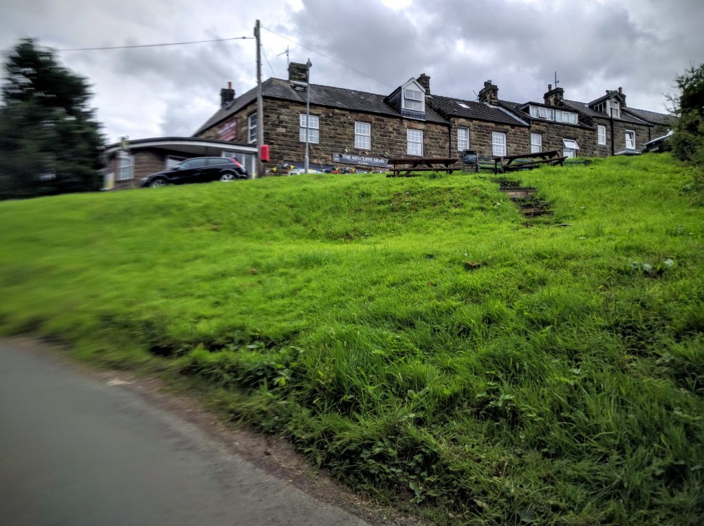
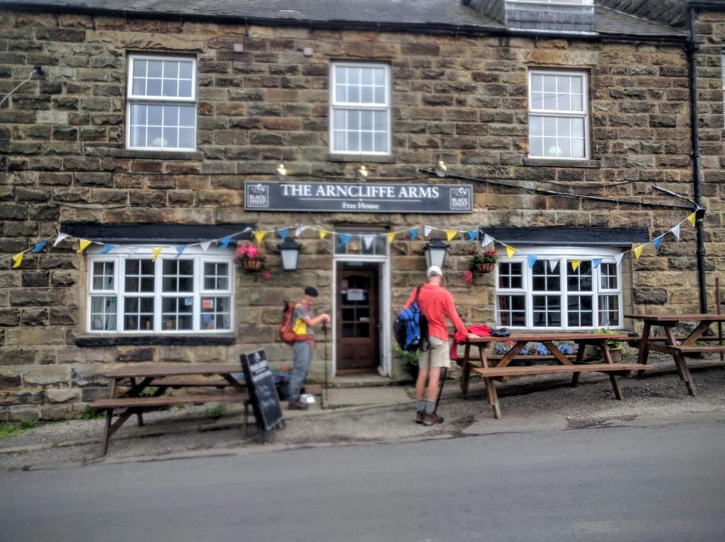
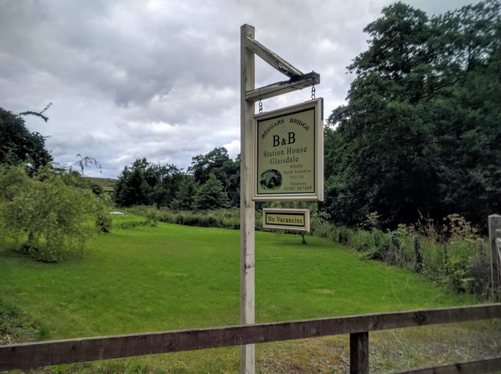
For the Cs, if sticking to the George Gap plan, this will be 11.34 miles from Sevenford House in Rosedale Abbey to Beggars Bridge B&B in Glaisdale. For the Ls the final destination is Laneside, about a mile before Beggars Bridge. Luckily there’s a pub (The Arncliffe Arms) right between the two 🙂
Realities
What a long and varied day! This the first time on this trip (or ever!) that I’ve walked five days in a row. We’ve always had a rest day on day four or five. For half of today, my body seemed to be grumbling with every step “it’s supposed to be a rest day”. The reality of a total of 30 miles in two days might have contributed too.
We (the Cs) had a lovely stay at Sevenford. I’d happily stay here again–it’s up with Crookabeck, Old Croft House, and Park House as a favorite.
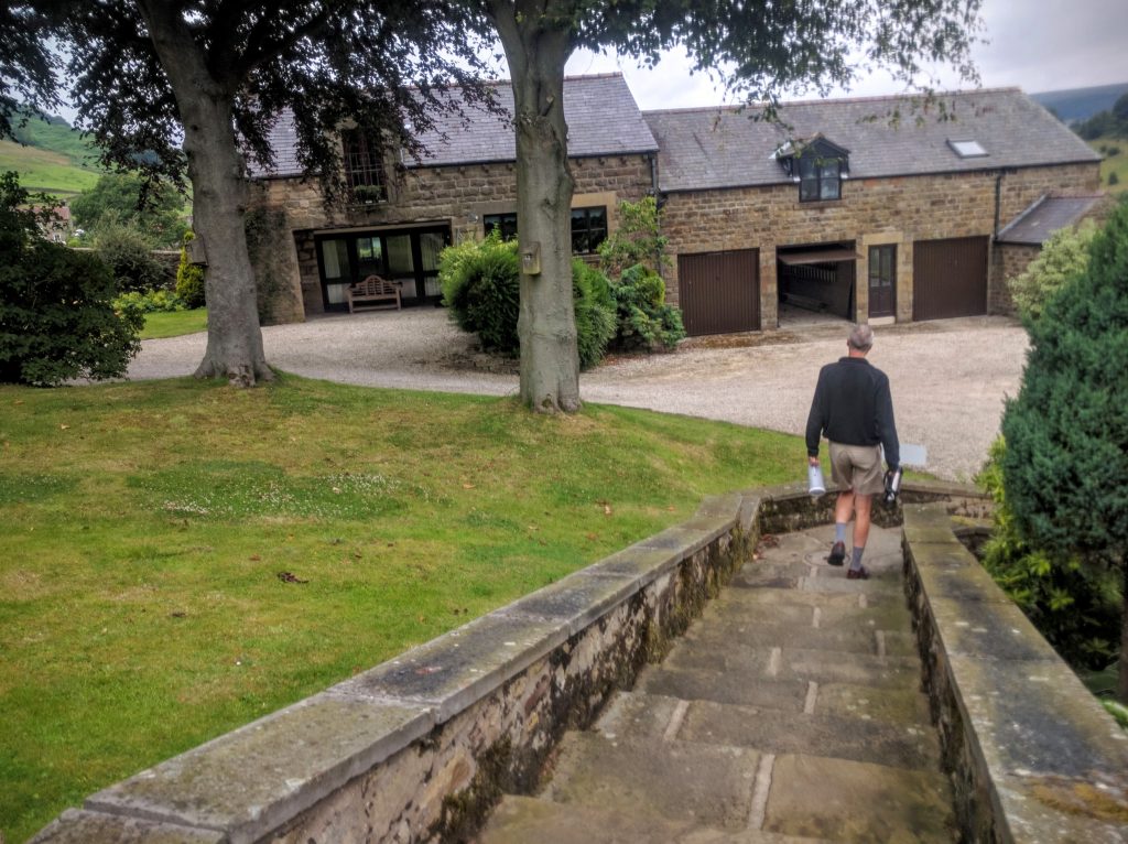
Set out a little later than planned at 9:15. Diverted via the beautifully-named bakery in Rosedale Abbey where we bought a couple of bakewell tarts.
Walked off into the fields only to realize D’s walking poles were back there still! So back to the bakery again. Overall it was really 9:30 before we left Rosedale Abbey.
Funny story about the route up the valley. I had programmed in one route into Outdoor Map Navigator. Our host Ian suggested a slightly different path for two miles or so in the valley. The routes were each two sides of a trapezoid. We decided to go with Ian’s local knowledge, which meant that for the first time I walked with an ordnance survey map in my hand. We went along the path for a mile or so–it all made sense, beck on the left, walls at about the right intervals etc etc. Then D pointed out that we were exactly following my original route, per GPS! Just as well we’ve not been map-navigating all this time. We’d probably have wandered into Finland!
Anyway, we continued up the valley on my route, with just a slight detour due to some logging work, before arriving at the disused rail line that would lead to George Gap Causeway. Here we made another small mistake, climbing on to the upper line instead of remaining on the lower line. I’m usually not averse to gaining height early, but in this case the upper line petered out and we had to scramble down an incredibly steep embankment to get back to the line we were supposed to be one.
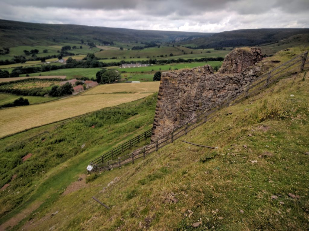
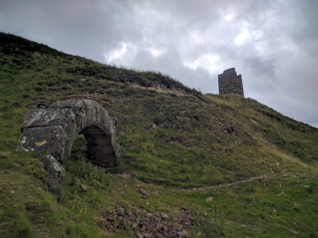
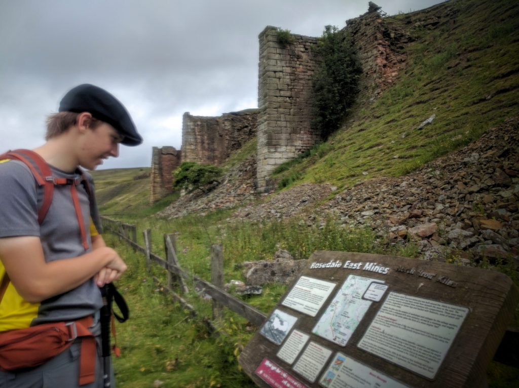
We saw some interesting ruins from the iron industry.
And also a view across the valley at the Lion Inn, looking so remote on the ridge line.
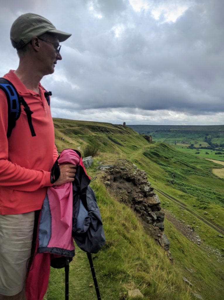
As we approached the turn off to the George Gap Causeway, we could see rain sweeping in. As the first drops fell, we donned rain gear. It was bad timing because we were about to head up again, and we knew we’d sweat. The rain–despite looking set in for the day–actually lasted a short time, so we could have got away without suiting up.
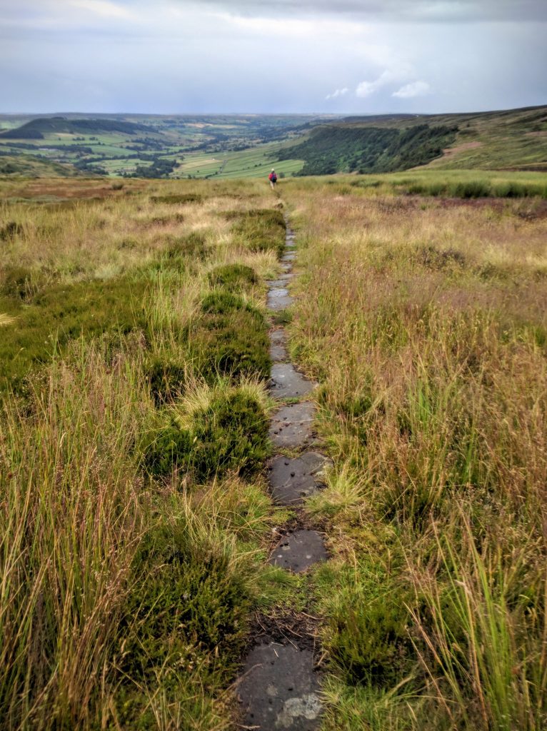
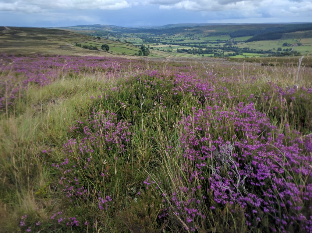
Reading about George Gap Causeway ahead of time, it was described as paved, a bit like the Cleveland Way, only much older. In fact, the paved part is a small minority of it, and it’s just one paving stone wide. The rest is just track across the peat (though not boggy for the most part.) Because the paved part is only one stone wide, the heather and grass hangs over it. And with the earlier rain, it was all wet. Which, for my Ahnu hiking boots, is as efficient a method of getting my feet soaked as if someone just connected a fire hose to the top. By the time we reached the top, my socks were so wet I could squeeze water out of them!
We reached the rendezvous point with the Ls exactly an hour after we had suggested we’d be there. We only were within radio range once we were practically there. It was a relief to hear that they’d moved on when we didn’t show up, rather than hanging around for an hour! We finally met up at the pub in Glaisdale.
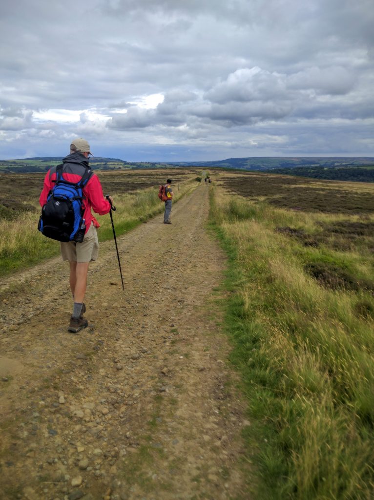
The Cs stopped for coffee from the flask and a snack. Then off again. The remainder of the walk (7 miles or so) was mostly notable for its extreme monotony. There were high points–views of the Irish Sea, some blooming heather–but for the most part is was a slog along a wide, often dead-straight track along the top of the moor. The view didn’t change for miles. It’s as if Wainwright suddenly got bored of the whole route-finding idea and thought “Ooooh, what’s the quickest way to the sea from here?”. (Looking ahead, the final two days look much more interesting, so I guess he just had a bad day.)
Glaisdale is a funny place, a village sprawled down an astonishingly steep hill. It gives the impression that it used to all be on the level and someone pushed it down a hill. Knee-busting work to get down to the pub (with an oh-so-cruel last minute uphill to get inside!) Relieved to sit down.
After a bit of recovery, RL and CL headed off to their B&B (1.3 miles back UP the hill—oy! Luckily they’d had a much shorter day than the Cs, but still.) FL had taken the train from last night’s lodgings to Whitby for the day, and wasn’t due back yet.
The Cs headed down to our B&B, thankfully just 0.3 miles down a bit further. Nice place, served us tea and toasted tea cakes.
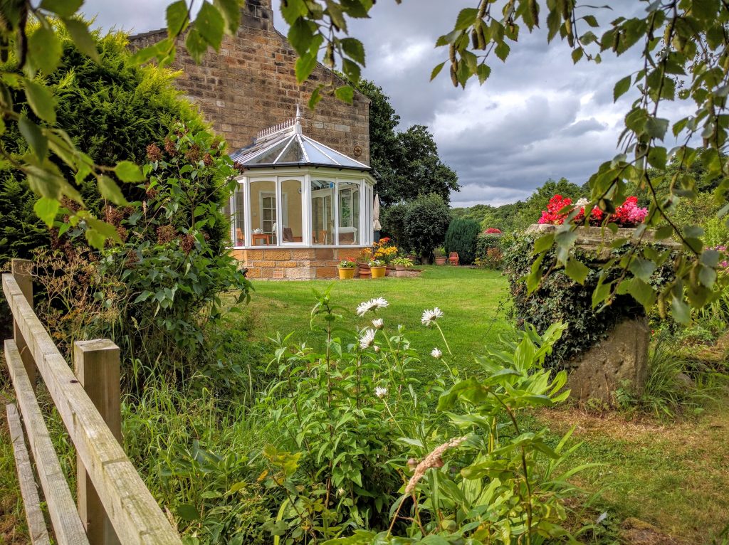
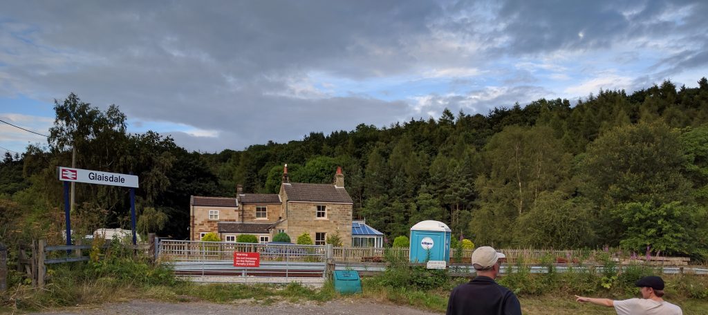
The B&B overlooks the Glaisdale train station, so we watched for FLs train to pull in. D passed along the message that he might just want to sit in the pub until dinner at 6pm rather than having to find some way to get to his distant B&B.
OK dinner. But we’re clearly all getting weary.
D did some drone flying when we got back to the B&B. Will add the footage later.
This entry was posted in Coast to Coast 2016One thought on “Day 19 Rosedale Abbey to Glaisdale”
Comments are closed.
Even weary, you are excellent company via this blog. Always a welcome and lively read.
Much thanks!