The plan
12.05 miles\656m ascent\average grade 7%\4:08 hours, some strenuous some easy. On paper, looks like a MUCH easier day than the first two. Staying two nights at No 4. Treverbyn Road. So a rest day tomorrow!
Reality
A day late posting this. By the time we lumbered into Padstow, I was exhausted. For some reason, today’s mileage was 13.2 miles. We didn’t get lost, as far as I know, so I’m not sure why it was more than a mile over the estimate. And I felt every inch of the last 3 miles or so.
On the other hand, every day so far the ascent figures have been way off…MapMyWalk recorded just over 1000ft, whereas the estimate was 656 meters–over 2000ft! Maybe it just feels like 2000!
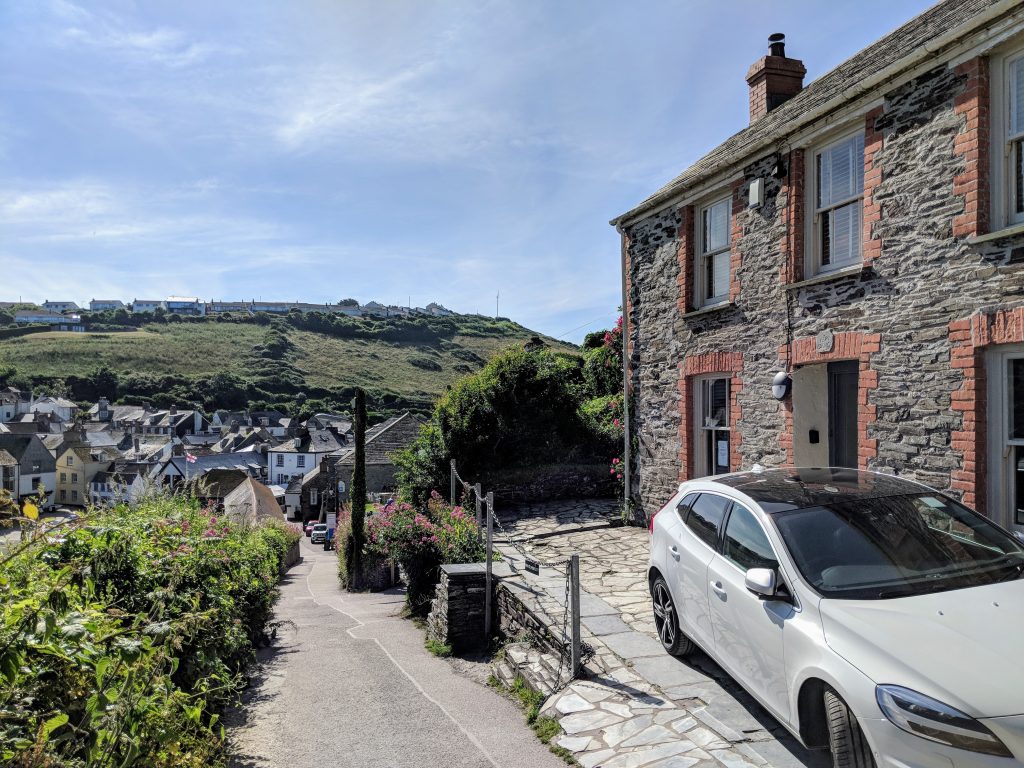
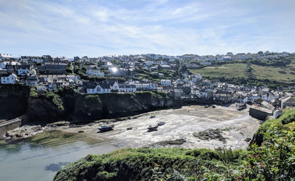
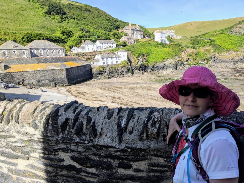
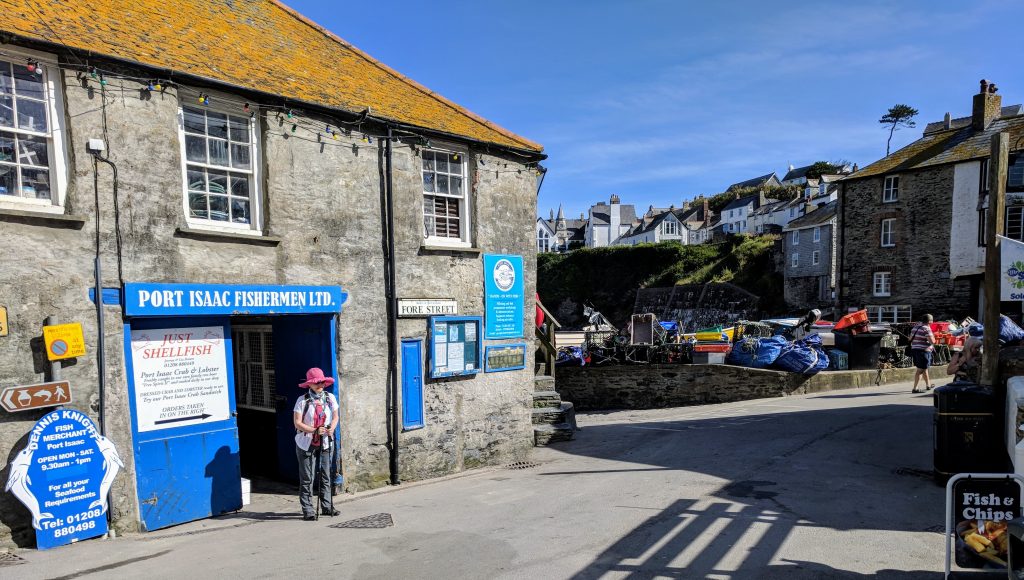
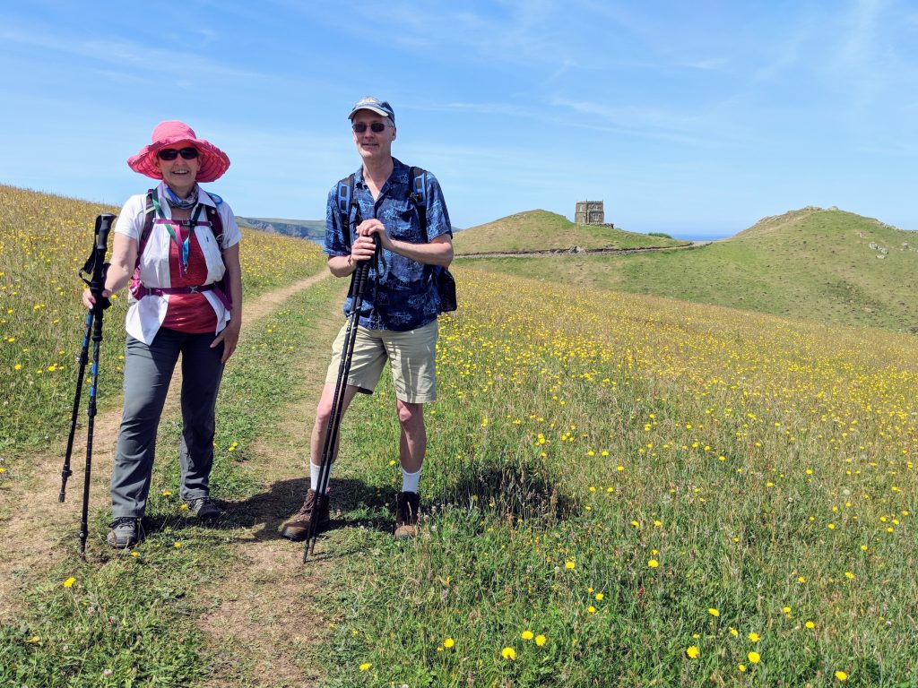
We headed out from Port Isaac at about 9am, stopping to stock up on today’s lunch pasty. Nice views of the town.
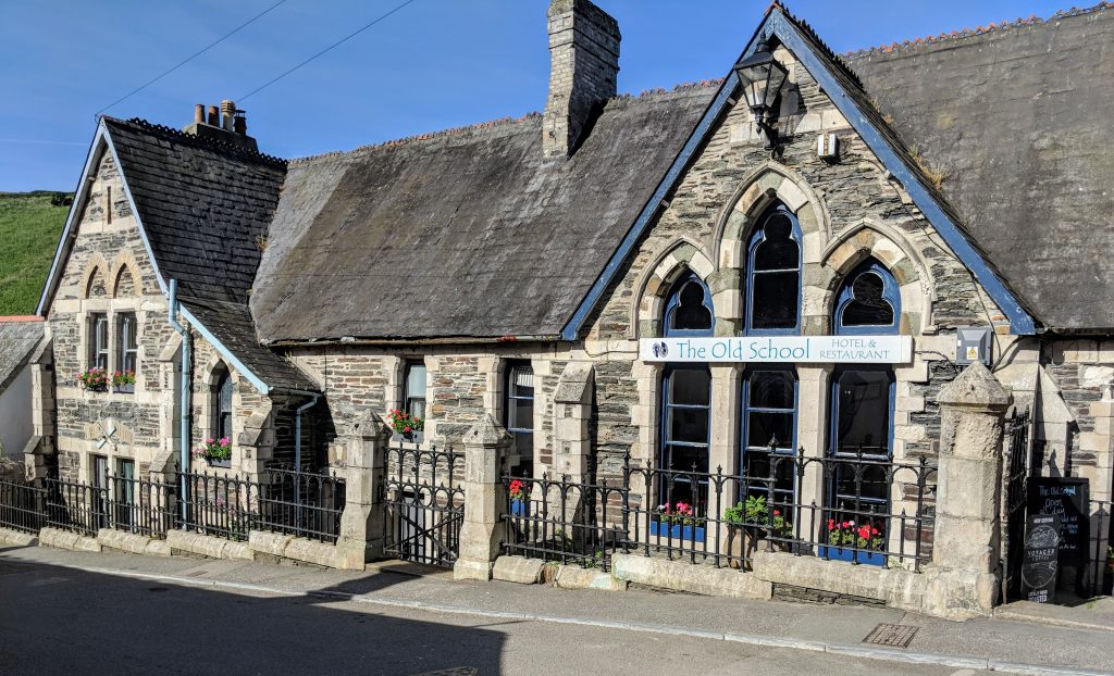
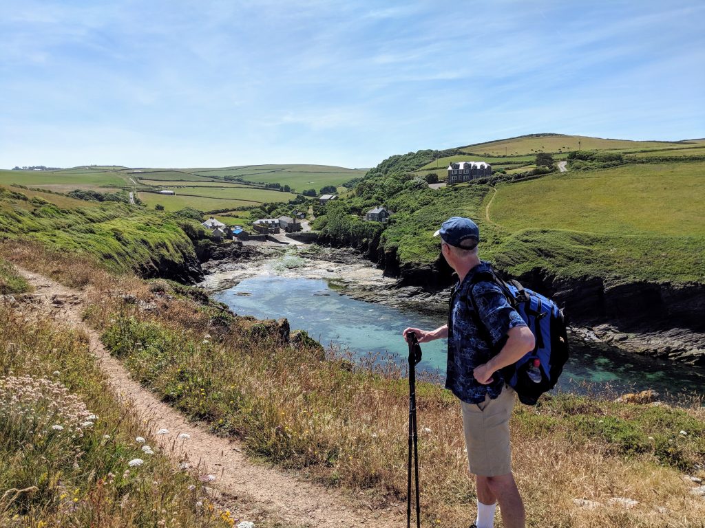
Toyed with the idea of taking the short cut route (“Turn left just past Doc Martin’s house”) but it looked very overgrown, so decided to stick to the harder, longer coastal route, which immediately headed up some steps. We past one last Doc Martin location–the tower where Louisa was held captive:
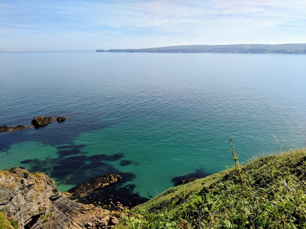
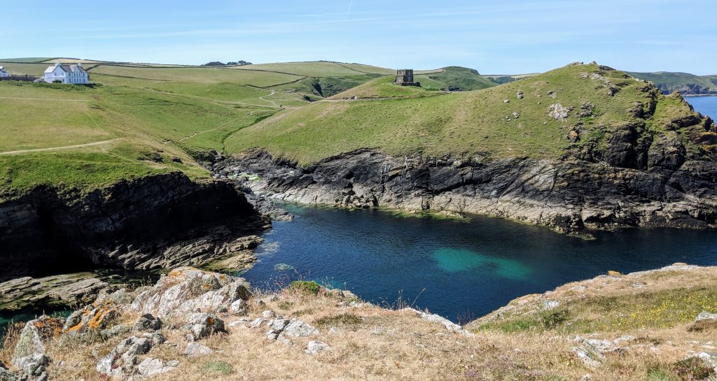
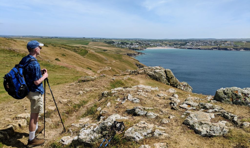
The next 3 miles to Port Quin were challenging. It’s billed as being the hardest of all, but coming at the start of the day vs the challenges at the end of yesterday, it didn’t feel as taxing. It was remote and beautiful, with the constant distraction of green waters below:
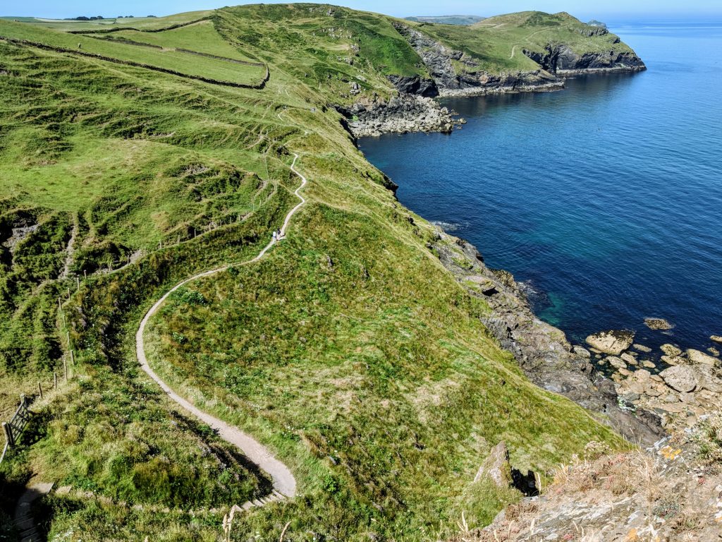
The path after Port Quin was billed as being easier, though that then just makes any uphill feel unexpected! There were still plenty, but not so many long stretches of steps.

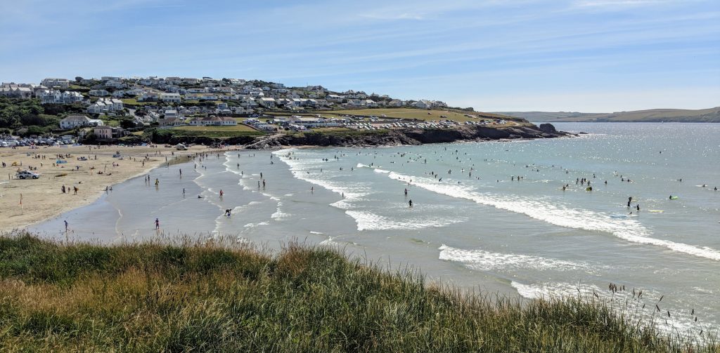
Then we headed toward a crowded sandy beach at Polzeath.
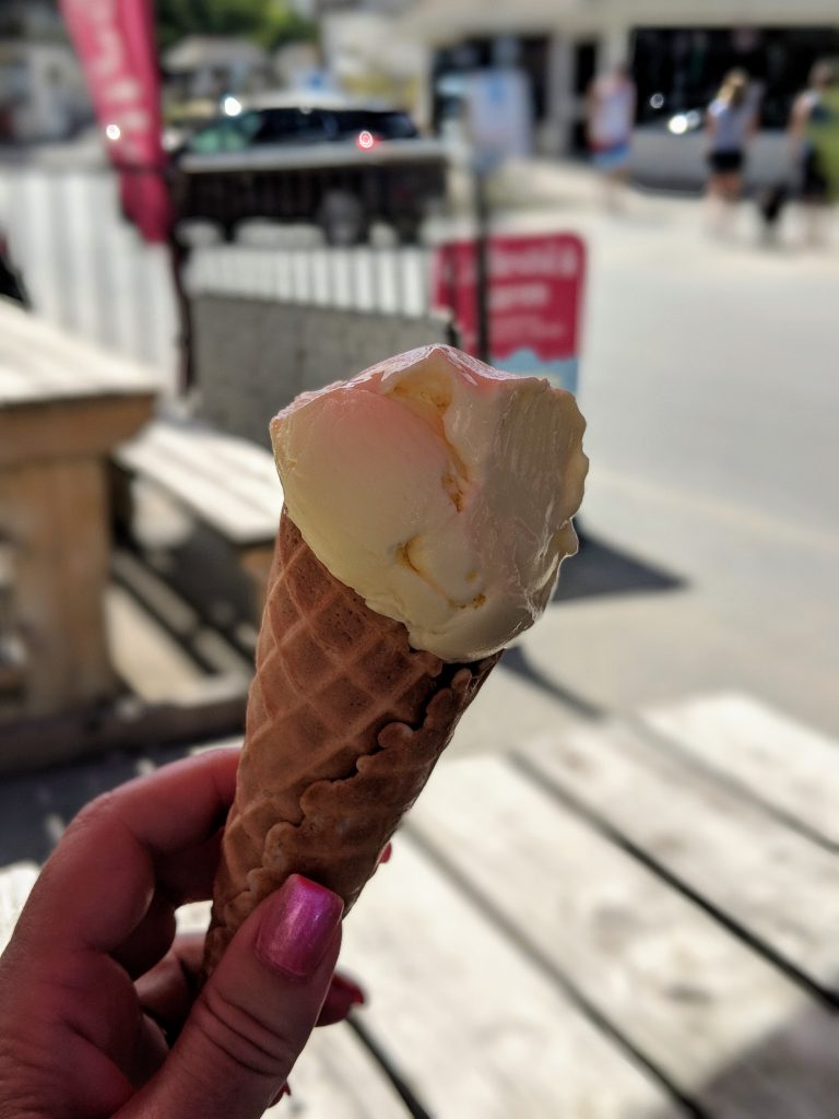
It was pretty warm (for hiking…not so sure for sunbathing or swimming!) so we paused for an icecream:
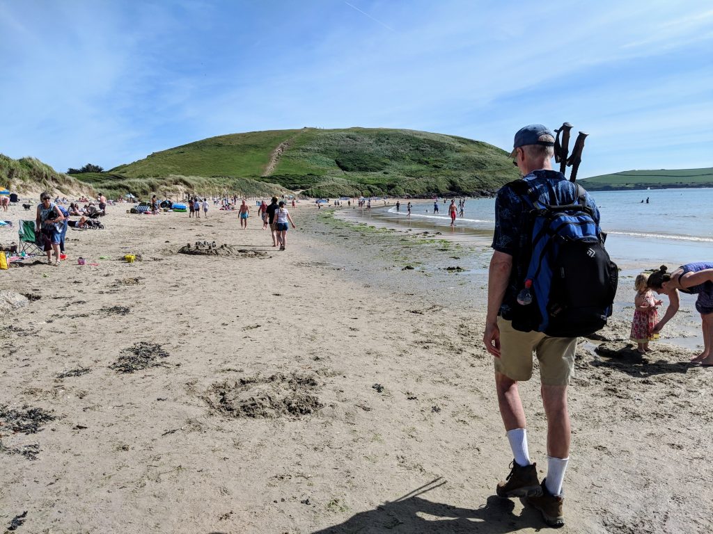
Then onward. Much easier walking by now, but we were so tired! Odd experience hiking across a beach filled with people enjoying the beach in more traditional ways.
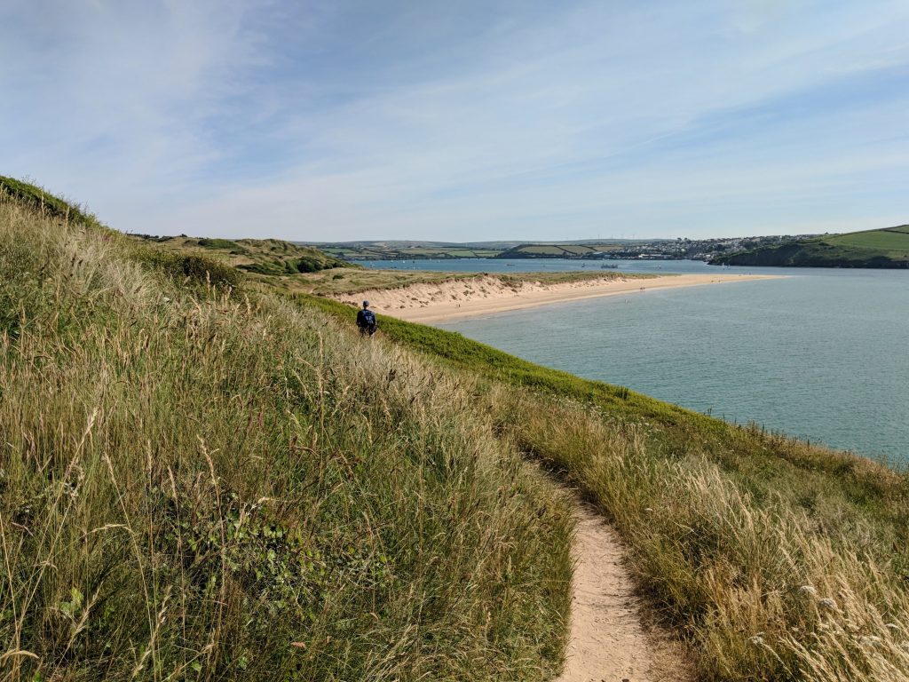
We walked in, along, beside dunes for a while. We wanted to get down the spit, but there was no clear path down to it. So we stuck to the dunes.
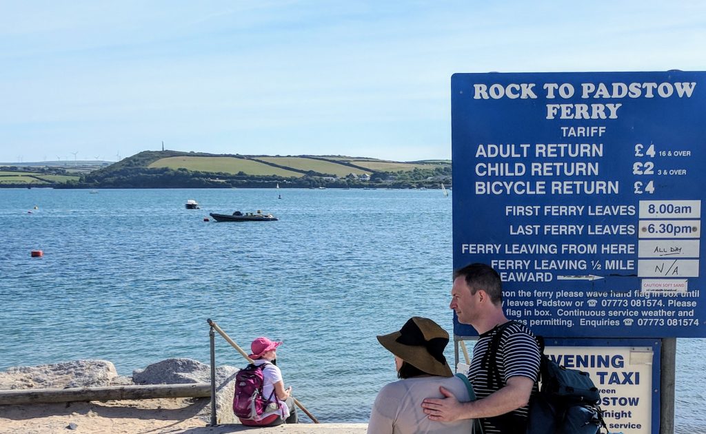
Finally, the ferry!
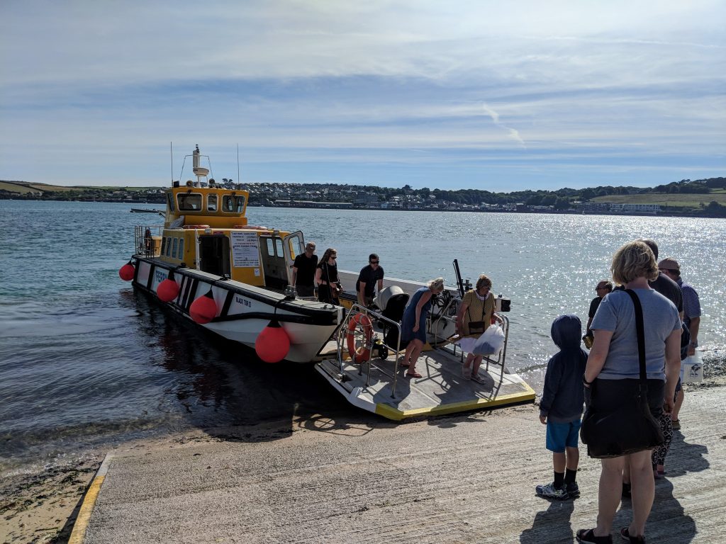
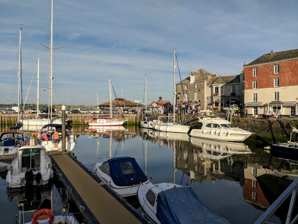
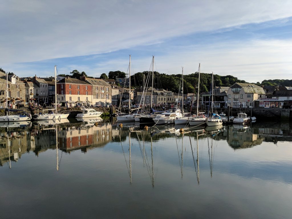
Once we got to the other side, it was a long steep climb through Padstow to our accommodation (will take a photo today). After a restorative shower, we headed back down into the town for a drink. By this point, my leg was screaming–the worst yet. So glad for a rest day! On the other hand, Padstow was spectacular on a warm summer evening. A school brass band was playing various tunes–Close Every Door from Joseph, Pie Jesu, something that sounded like the Hovis bread ad. Even though it was definitely junior school-quality music, it was lovely.